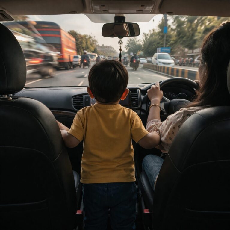
Indian cities are paying for the wrong kind of traffic — the invisible kind. Not just vehicles clogging roads, but the absence of real-time data that could make them flow better. According to NITI Aayog, traffic congestion costs Indian urban economies an estimated ₹1.47 lakh crore annually due to lost productivity, fuel waste, and air pollution.
What makes this worse is that many of these inefficiencies are solvable — not through expensive flyovers or expressways, but by understanding how people actually drive, stop, idle, and turn across a city. That’s where telematics comes in.
What Is Telematics — and Why It’s Key to Smarter Cities
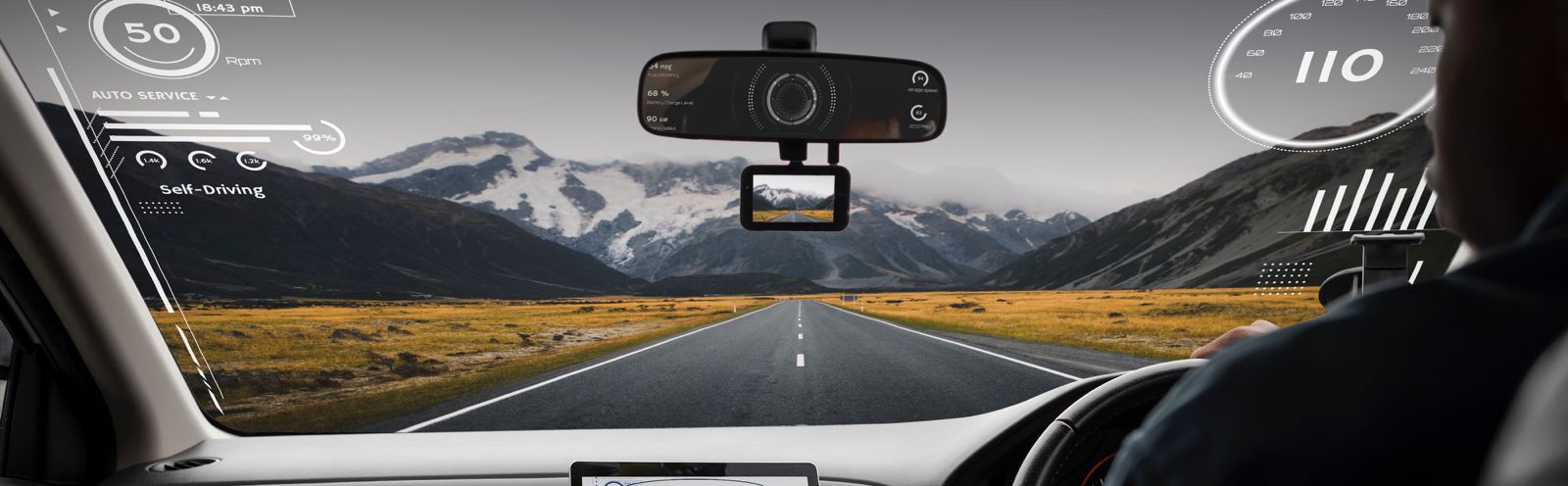
Telematics is the use of GPS and sensors to track how vehicles move, brake, idle, or speed. Think of it as behavioral intelligence for cities — a way to see traffic in motion, not just on maps. Traditionally used in logistics and insurance, telematics is now finding its place in city planning, public transit, and safety enforcement.
It doesn’t need futuristic infrastructure. Every smartphone, delivery vehicle, and connected car is already a data node — capable of feeding live insights to city authorities on congestion, high-risk zones, or design flaws.
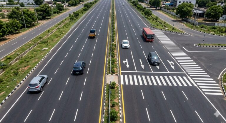
Where Telematics Works: Real Results from Real Cities
Singapore: Smarter Pricing, Less Traffic
Singapore’s Electronic Road Pricing (ERP) system adjusts tolls based on real-time congestion data from telematics-equipped vehicles. The outcome: 15–20% sustained reductions in congestion — without building a single new road.
Pune: Smart Buses, Better Mobility
Under the Smart Cities Mission, Pune launched a central traffic control center using GPS and IoT data to track public buses. The result: better route planning, increased on-time performance, and a 10% rise in bus ridership in pilot areas.
Mumbai: Traffic Heatmaps in Action
The Mumbai Traffic Police used telematics-generated heatmaps to ease chokepoints on routes like the Eastern Express Highway. In targeted zones, peak congestion dropped by up to 22% during rush hours. [Source]
Bengaluru: AI Signals in the IT Corridor
AI-based adaptive signals, powered by real-time vehicle data, are being tested along Outer Ring Road in Bengaluru. Early trials show up to a 15% improvement in peak-hour flow. [Source]
What’s Possible in Indian Cities Right Now
Identify Dangerous Intersections
Clusters of harsh braking or speeding in the same location point to visibility issues or poor signage — insights cities can act on immediately.
Fix Signal Timing Dynamically
Instead of fixed cycles, traffic lights can adjust to actual flow using live vehicle data — reducing idling and improving journey times.
Improve Last-Mile Transit Design
Data from daily routes can highlight where to add metro drop-offs, bus feeders, or pedestrian zones — not based on assumptions, but movement patterns.
Cut Emissions with Smarter Flow
Stop-start congestion is a major contributor to fuel waste. By easing flow with signal or route optimizations, cities also meet clean air targets.
Prioritize Infrastructure Investment
Rather than repaving low-use roads, cities can direct spending to high-wear areas or safety-critical corridors.
What’s Holding Cities Back
Despite clear benefits, adoption of telematics in urban planning remains slow. Key challenges include:
- Departmental silos: Traffic, planning, enforcement, and IT departments rarely share data or strategy.
- Data privacy fears: Cities lack frameworks for anonymizing and acting on vehicle-level data responsibly.
- Low awareness: Many decision-makers still rely on static surveys instead of dynamic, behavior-led data.
The good news? Cities already have the infrastructure — the next step is connecting the dots.
Attento: A Behavioral Lens on Urban Driving
Attento is a mobile-first telematics platform that passively monitors how people drive — using smartphone sensors to detect speed, braking, phone use, and night-time driving. It converts every trip into a driver score, surfacing where risks emerge most consistently across a city.
What makes Attento unique is its ability to provide this data as a privacy-first, aggregated layer to city planners — identifying early signs of safety gaps before they become crash zones.
Instead of reacting to accident reports, cities can start acting on risk patterns in real time.
The ROI: Big Impact, Small Cost
While a single flyover can cost ₹100 crore or more, smartphone-based telematics pilots can be deployed citywide for under ₹1 crore. Integration with existing smart city control centers requires no new hardware.
Improvements — like reduced crashes in blackspots, smoother peak-hour flow, or better route design — can be measured in 3–6 months.
India’s Smart Cities Mission has already earmarked over ₹1,500 crore for ICT infrastructure. Tapping even a small portion for behavioral data intelligence could yield outsized results.
Conclusion: From Roads to Intelligence
India’s urban mobility challenge is urgent — but it isn’t unsolvable. Telematics offers cities a way to become smarter without breaking ground.
We no longer need to plan based on how roads were designed to work. We can plan based on how they’re actually used.
For planners, administrators, and mobility innovators: the tools are here. The question now is whether we’ll act — not after the next budget, but before the next traffic jam.
Ready to explore how telematics can help your city? Learn more at attento.club.